Often criticized for a lack of humor, the younger demo have all but abandoned the show.. it was the lowest rated episode and some say rightfully so after an episode of jokes not handing and dull humor that forced you to wince as you watched ..
“No, I do not know where Brian is. … I’d turn him in,” Cassie Laundrie said in an exclusive interview with ABC’s “Good Morning America” which aired Tuesday.
Cassie Laundrie said if she could talk to her brother, she would tell him to come forward.
National security officials at the White House were recently issued a warning: move away from the immediate area as soon as possible if you ever feel the acute onset of pressure, sound or heat in the head.
In brown bag lunches over the past week, policy staff at the Pentagon have been instructed to report any strange, sudden health symptoms without delay.
The U.S. government is sending a message to diplomats, national security staff and intelligence officers that “anomalous health incidents” — also known as “Havana syndrome” because it was first detected in Cuba — are serious, widespread and pose real danger to their health at home and abroad.
— Read on www.mcclatchydc.com/news/politics-government/white-house/article254754432.html
This interesting report comes a day after global news articles published opinions that the entire syndrome was just imaginary and conflated by attention..
Clearly the government is taking it seriously.
We have previously reported that government buildings including even the White House were targets of the potential attacks..
The figure includes abuses committed by some 3,000 priests and an unknown number of other people involved in the church — wrongdoing that Catholic authorities covered up over decades in a “systemic manner,” according to the president of the commission that issued the report, Jean-Marc Sauvé.
The 2,500-page document was issued as the Catholic Church in France, like in other countries, seeks to face up to shameful secrets that were long covered up. Victims welcomed the report as long overdue and the head of the French bishops’ conference asked for forgiveness from them.
The report said the tally of 330,000 victims includes an estimated 216,000 people abused by priests and other clerics, and the rest by church figures such as scout leaders or camp counselors. The estimates are based on a broader research by France’s National Institute of Health and Medical Research into sexual abuse of children in the country.
— Read on apnews.com/article/europe-france-child-abuse-sexual-abuse-by-clergy-religion-ab5da1ff10f905b1c338a6f3427a1c66
Confirmed: The DNS records that tell systems how to find Facebook.com or Instagram.com got withdrawn this morning from the global routing tables. Can you imagine working at FB right now, when your email no longer works & all your internal FB-based tools fail?
To be more precise (and Geek Factor 5) the BGP routes serving Facebook’s authoritative DNS were withdrawn, rendering all Facebook domains inaccessible. That’s per @DougMadory , who knows a few things about BGP/DNS.
Searching for Facebook’s DNS records comes up empty-handed.
EVEN MORE.. But badges too!?
Facebook appears to have more than DNS issues, as NYT’s Sheera Frenkel reports:
“Was just on phone with someone who works for FB who described employees unable to enter buildings this morning to begin to evaluate extent of outage because their badges weren’t working to access doors.”
@JACK tweeted this … Will he buy!? Is Facebook for sale!?
Some are saying it’s not just down.. BUT GONE..
THIS IS HOW THE AP SUMMARIZED IT:
Facebook along with its Instagram and WhatsApp platforms suffered a worldwide outage Monday that has extended more than three hours. Facebook’s internal systems used by employees also went down. Service has not yet been restored. The company did not say what might be causing the outage, which began around 11:40 a.m. ET. Websites and apps often suffer outages of varying size and duration, but hourslong global disruptions are rare. “This is epic,” said Doug Madory, director of internet analysis for Kentik Inc, a network monitoring and intelligence company. The last major internet outage, which knocked many of the world’s top websites offline in June, lasted less than an hour. The stricken content-delivery company in that case, Fastly, blamed it on a software bug triggered by a customer who changed a setting.
FROM BLOOMBERG:
Mark Zuckerberg’s personal wealth has fallen by more than $6 billion in a few hours, knocking him down a notch on the list of the world’s richest people, after a whistleblower came forward and outages took Facebook Inc.’s flagship products offline.
Universal Pictures unveiled a packed trailer for its upcoming Blumhouse horror thriller “The Black Phone” this past week, during a presentation to the annual convention of movie theater owners in Las Vegas.
Reuniting Ethan Hawke with his “Sinister” writer-director Scott Derrickson, the project is adapted from a short story by Joe Hill. Hawke delivers a bone-chilling performance as an unnamed villain, a character he said breaks with his “no bad guys” rule while introducing the clip.
“The Black Phone” follows an abducted boy “locked in a basement that’s stained with the blood of half a dozen other murdered children. In the cellar with him is an antique telephone, long since disconnected, but which rings at night with calls from the dead,” according to a synopsis of the short. So we’re already having fun.
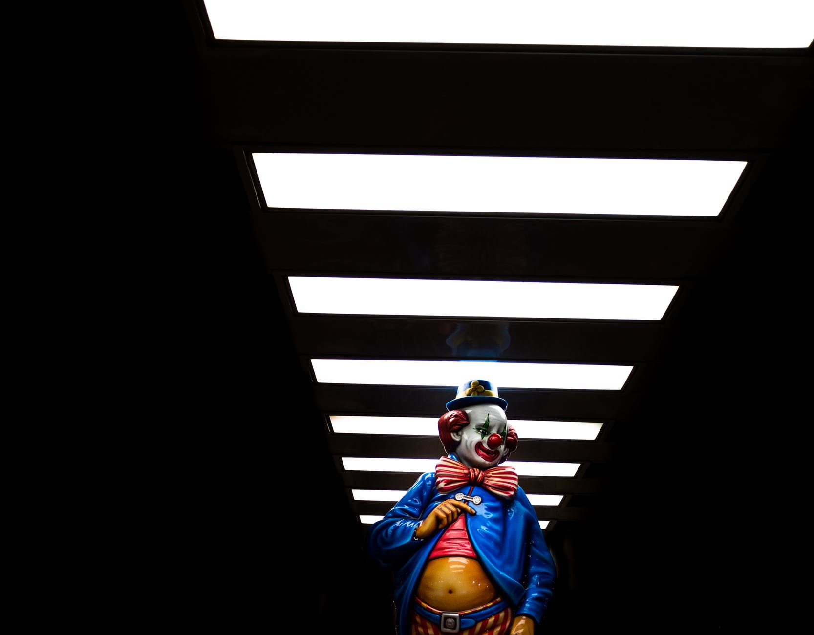
This is what mainstream media is reporting in the Washington POST: Multiple clowns have been spotted loitering outside schools in Singapore – staring intently, approaching pupils and allegedly asking the young children to follow them. Their unnerving presence sparked a flurry of complaints from concerned parents who immediately called on the police to investigate.
On social media, some shocked parents shared photos of one of the clowns and identified the school police were investigating as Speech Academy Asia – an organization dedicated to helping adults and children improve their public speaking skills.
In one photo, a person disguised as a clown with heavy face makeup, a hat and a plaid shirt, was seen tilting their head and transfixing on those standing near a bus stop close to a school.
x x x
The academy’s director, Kelvin Tan, told The Straits Times that the clowns were part of a marketing campaign to promote speech classes taking place at the center. “There was no evil intention behind the costumes,” Tan said.
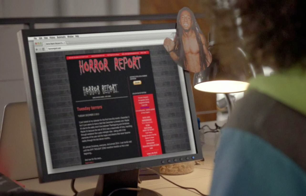
It is great to see Matt Drudge showcase himself again on his own website..
There is absolutely no doubt that the Drudge Report changed the world, started a media revolution.. and for better or worse paved the way for what we are dealing with today…
Drudge showed the media that a glamor job on a network wasn’t what mattered..
Just a modem and a web space. It all happened in the murky mid-90s when his gossip column reached 300,000 or so folks–a major achievement for that time! Even AOL had struggles Drudge never did.
And that magic moment. The time he was given a lead that no one else would bite one: An intern sex scandal in the White House that would change history, journalism, and the basic fabric of our nation…
And now Drudge is touting his presence in the Monica Lewinsky drama IMPEACHMENT..
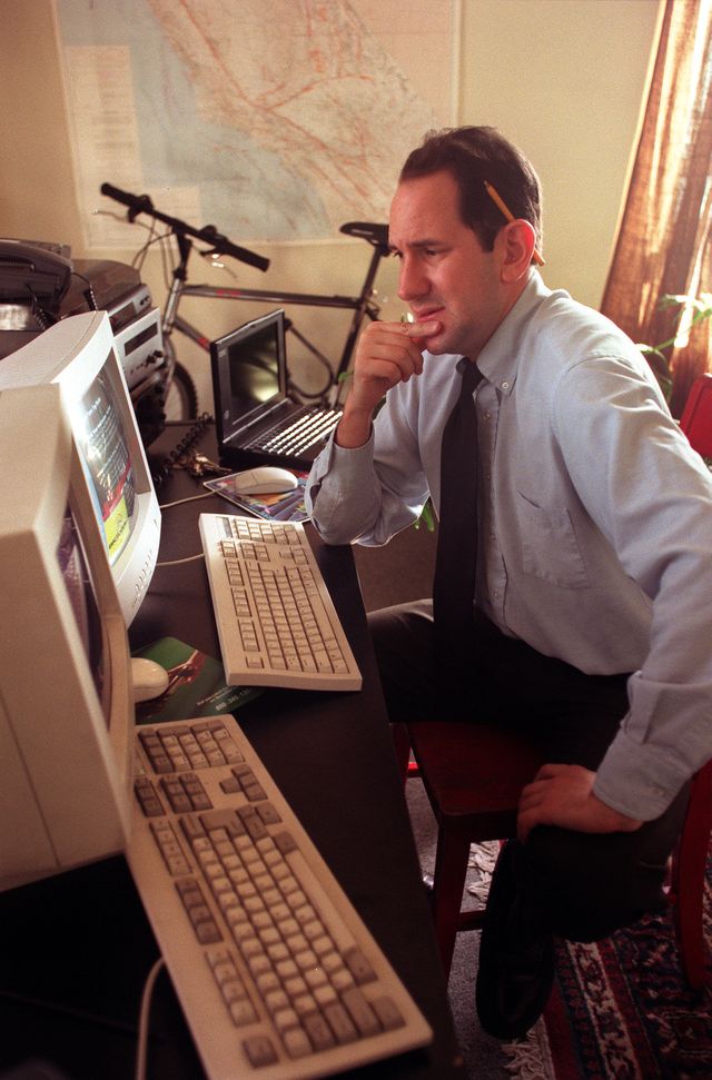
DRUDGE HIMSELF MARKED THE OCCASION WITH A SERIES OF NEWS LINKS AND A NOSTALGIC IMAGE OF HIMSELF ON HIS SITE, THE DRUDGE REPORT..
Drudge, and his soon to be famous site Drudge Report, achieved the impossible in 1998 and stunned the world when he broke the news about President Clinton’s affair with an intern named Monica Lewinsky—a relationship that’s at the center of the new series, airing now on FX.
There is a lot more about his influence, his role … all of it.
Some have dismissed his site and his role in history. Other realized immediately then and still today how much of a role has had in just about every historical event since the mid 1990s….
The governmenwt has suspended all construction for 2 weeks.. that will cause some issues now that more than a few places have been dealt damage from really puzzling earthquakes that just should seem to be occurring where they are…
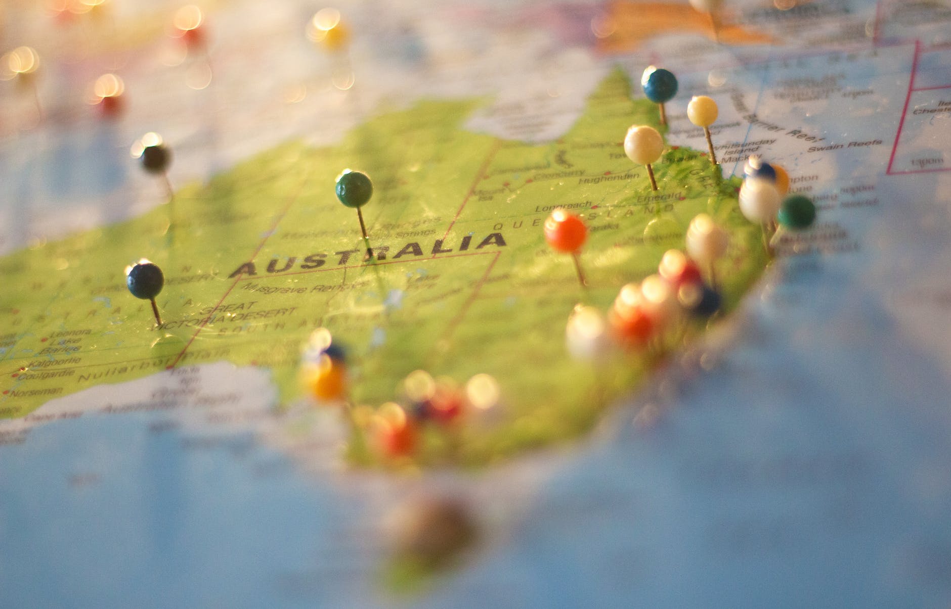
An unusually strong earthquake struck in an unusual portion of Australia (9:15 am September 21, local time), puzzling experts with its intensity and location.
Registering a magnitude 6.0, the earthquake outside of Melbourne is the largest onshore earthquake in Victoria in recorded history.
There have been numerous aftershocks, including a a 4.7 that occurred about 15 minutes after the main shock. Melbourne is the second largest city in Australia, with a population of roughly 5 million people.
Betty’s Burgers & Concrete Co has experienced structural damage due to Melbourne’s earthquake pic.twitter.com/bMImZcds8e
The state government of Victoria has mandated all construction workers be vaccinated by the end of this week and have shut down all construction sites!!!
Named 2021 SG, an asteroid flew close to the planet on September 16, but because it came from the direction of the Sun, scientists didn’t see it coming…
Think about that.. Where were you on September 16 when you had no idea this was occurring?
According to the NASA-backed International Astronomical Union’s Minor Planet Center, the asteroid has a diameter of anywhere between 42-94 meters, with an average diameter of 68 meters.
This size is around the wingspan of a 747, and is also around the height of the Cinderella Castle in Disney World and around half the size of the Great Pyramid of Giza.
Because of the way the asteroid arrived, it was not noticed until it passed by the next day…
Another close call… that no one would have seen coming.